

During the second week of May this year, my plan was to spend 8 solid days on the road, but unfortunately mother nature decided otherwise. It was the high 40s, low 50s and raining on and off. So I left on a Tuesday instead of Sunday as planned. It was still chilly and raining off and on the entire day.
Since I really had zero plans other than meeting my wonderful friend Tamela Rich in Roanoke VA on Thursday, I had plenty of time so I took the long way down and stayed off highway, went around DC and ended up my first night in Front Royal, VA.
Front Royal is basically the starting point of the Blue Ridge Parkway. As much I as I enjoy the scenery of the parkway, it’s a fairly limiting road due to the speed limits and traffic. But I did do an obligatory portion of the top of the parkway so I could snap a few pics. And do a little scenic, casual riding.

One of the many well paved roads I found in WVA.

We went riding the following morning and ended up on one of the many unpaved backroads that VA is notorious for. For the ADV folk out there, it's a dreamy place to ride. But for us, particularly me and my smooth tires, it was a nailbiter. I've been on 3 death grip dirt roads in my illustrious 15-year riding career. This one was one of the worst.
A single lane, dirty, steep, gravel-filled road with no room to turn around. Something about riding uphill on this kind of road terrifies me when I'm on a sportbike. All I could see was my rear wheel spinning so fast and hard, losing traction and then flipping over. My bike has so much torque and can send so much power to the rear wheel, even at 1,000rpm that I didn't foresee this going very well.

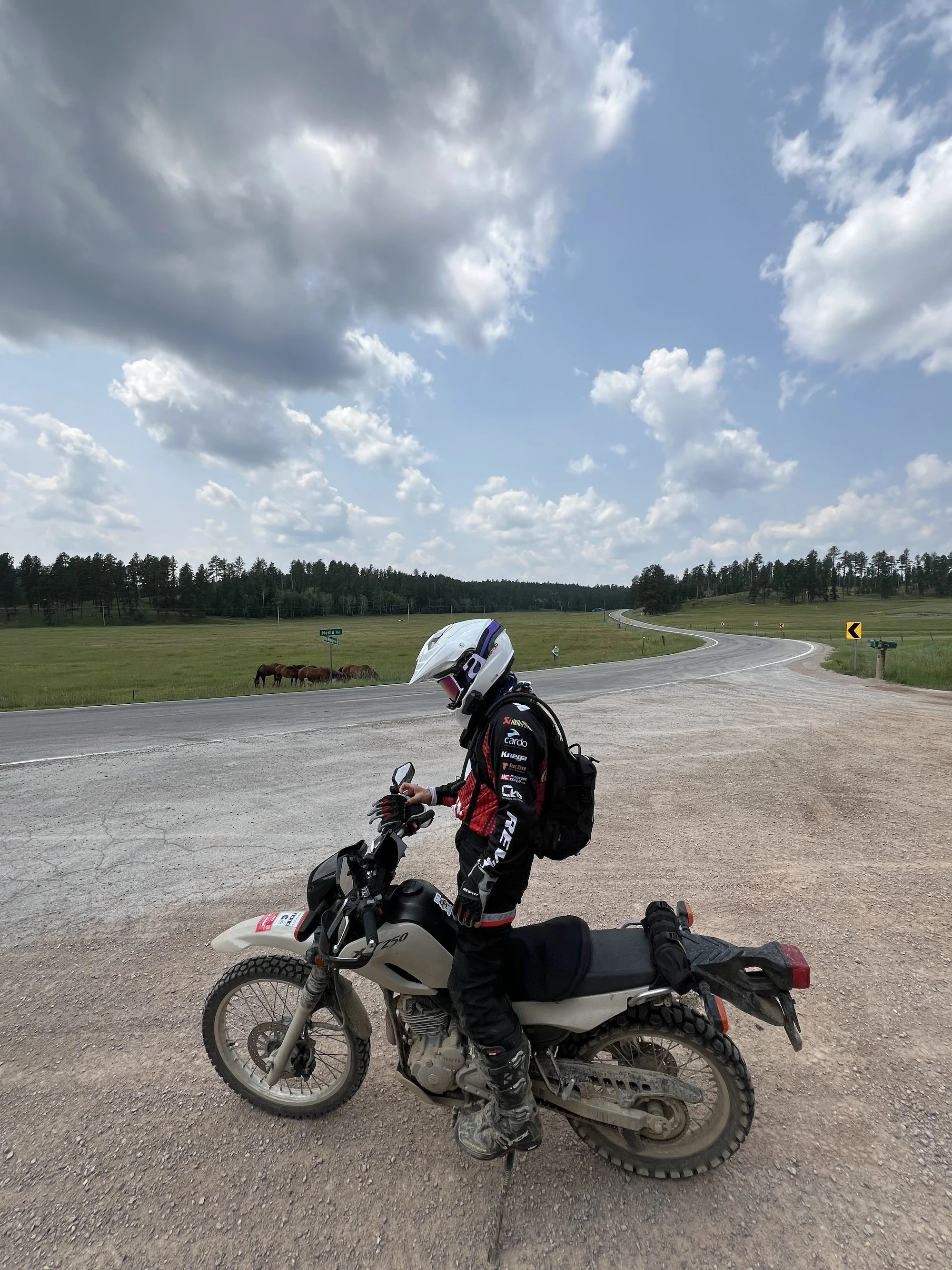
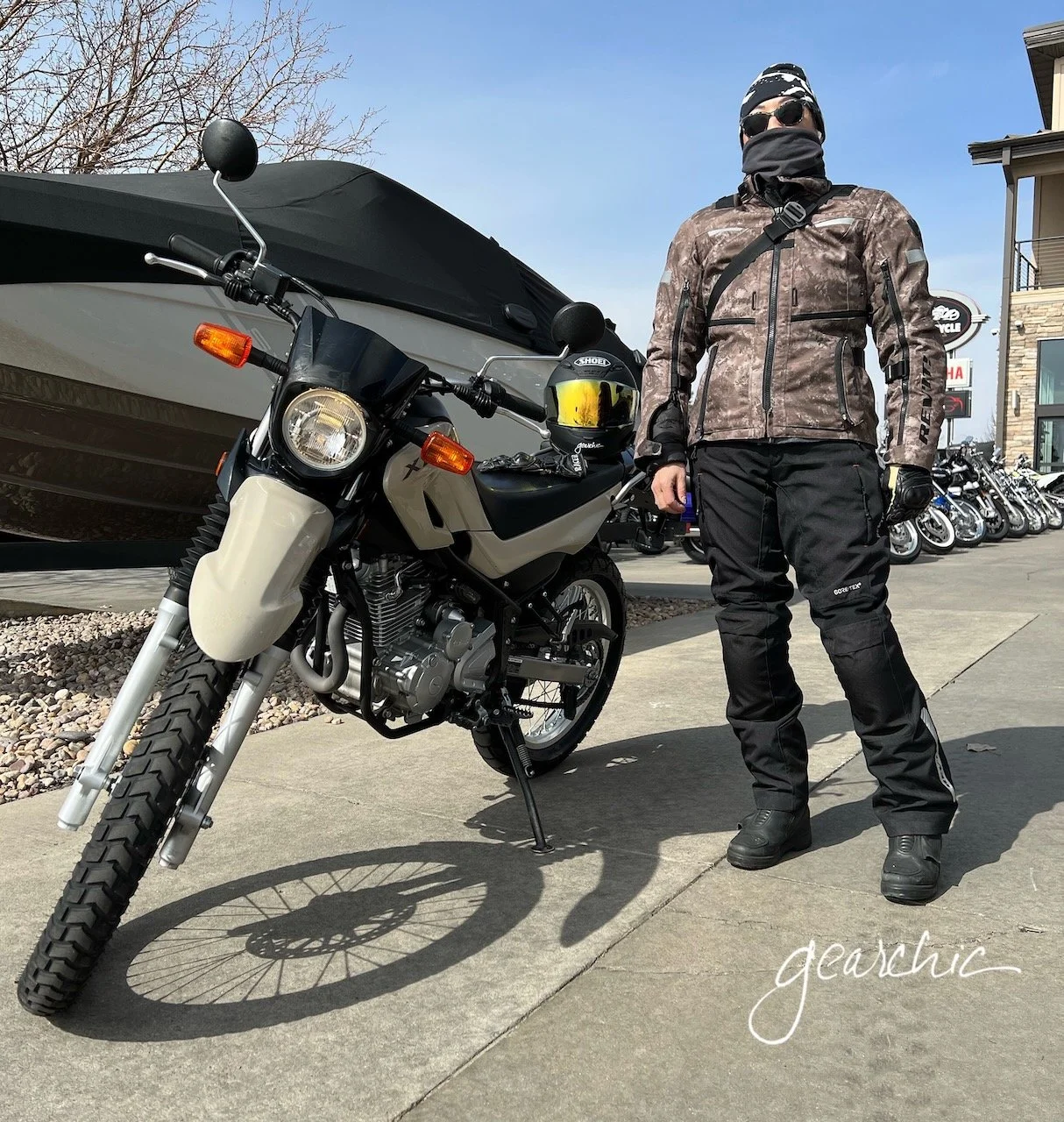
My friend Tamela on her dirt worthy F650GS
This is why many sporty folk fear the dirt. We can lose traction so very quickly. I know that if I were on a cute KLX250 with knobby tires that I would've tore up that hill like it was a smooth, paved track.
Luckily I remembered what my friend Nancy from Streetmasters told me a long time ago; smooth and steady in 2nd gear. So up I went. It was only a mile or so but felt like 10. This was really the most exciting part of my trip. Otherwise, I had an uneventful trip with an awesome friend whom I missed very much. We have
Sometimes getting out of my comfort zone can be painful. But afterwards, it feels so good knowing that I did it!
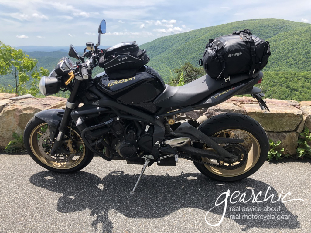
Trip planning post, if you want to see what gear and luggage I used