inroute

GPX Routes for Virginia and West Virginia

IMG_0960.jpeg

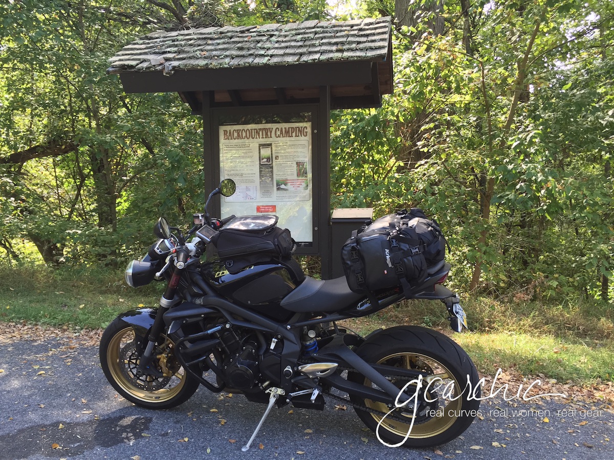
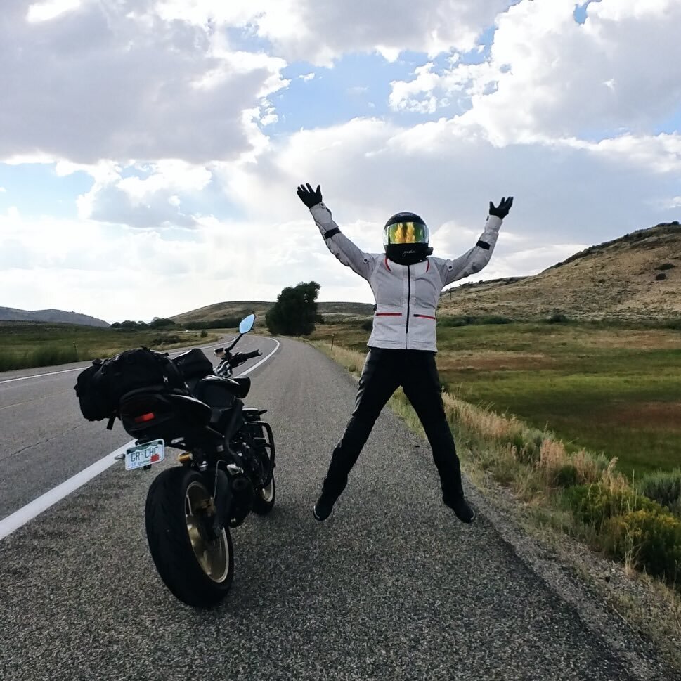
This week I’ve been having fun riding around VA and WVA before and after meeting up with a friend in Roanoke. Here are the individual GPX Routes I created, feel free to download any or all of them:

Philly to Front Royal VA

Front Royal VA to Roanoke VA

Elkins WV to Philly

Staunton VA to Hagerstown MD (I did this because I didnt have time to do Elkins to Hagerstown)

Elkins WV to Hagerstown MD (if you have more time than I did)

You might be wondering how I do my routing and directions on the fly while I’m on a trip like this. Because I refuse to bring a laptop for a 3-5 day trip. I do have my iPad sometimes but it’s not a laptop.

But when I’m out on a ride, or on a short trip, these are the 3 things I use: in conjunction with my iPhone so that I can do two very important things: A/ Create, save and/or share a route on my phone (without a computer) and B/ Receive turn by turn directions into my helmet.

IMG_3214.jpeg
  1. Bluetooth Intercom (Sena or Cardo or Other). Right now, I’m using an older Sena SMH10R since my Sena 10R is on my Bell. But this Summer I’m going to spring for a new Cardo Freecom 4+ with JBL speakers. Woo hoo!

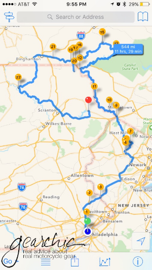
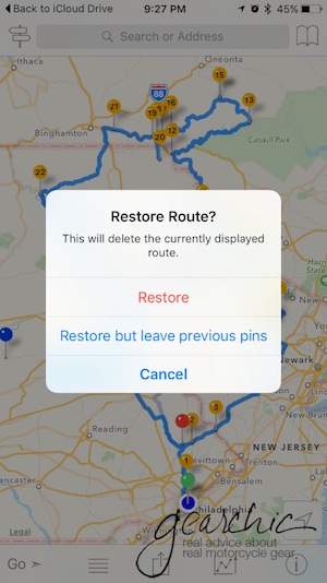
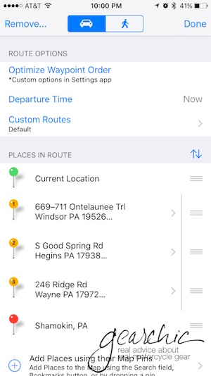
  2. InRoute app (iPhone only) - Read my Review here which shows you how to make GPX routes on the fly, as well as exporting them to share with a friend, or saving them for later. This feature is what differentiates it from Google Maps. At least for those of us with iPhones. I’m guessing Android users might have more privileges, and if that’s the case please post a comment below.
    As much as I like this app, the only thing I hate right now is the sound quality of the Voice. The female US English voice is too high pitched, so I started using the male UK English voice and it’s much better. I’m hoping that when I switch to Cardo, it’ll be a little better. The Google Maps voice (I call her Gigli) is much, much clearer and smoother.

  3. Google Maps: I mainly use this as a search tool for things like gas stations, restaurants, etc. Although you can create a multi-waypoint trip, you are limited to so many waypoints (far less than 100, I think 10ish or something) and you can’t save them on an iPhone. So InRoute really works better as a trip planning tool.

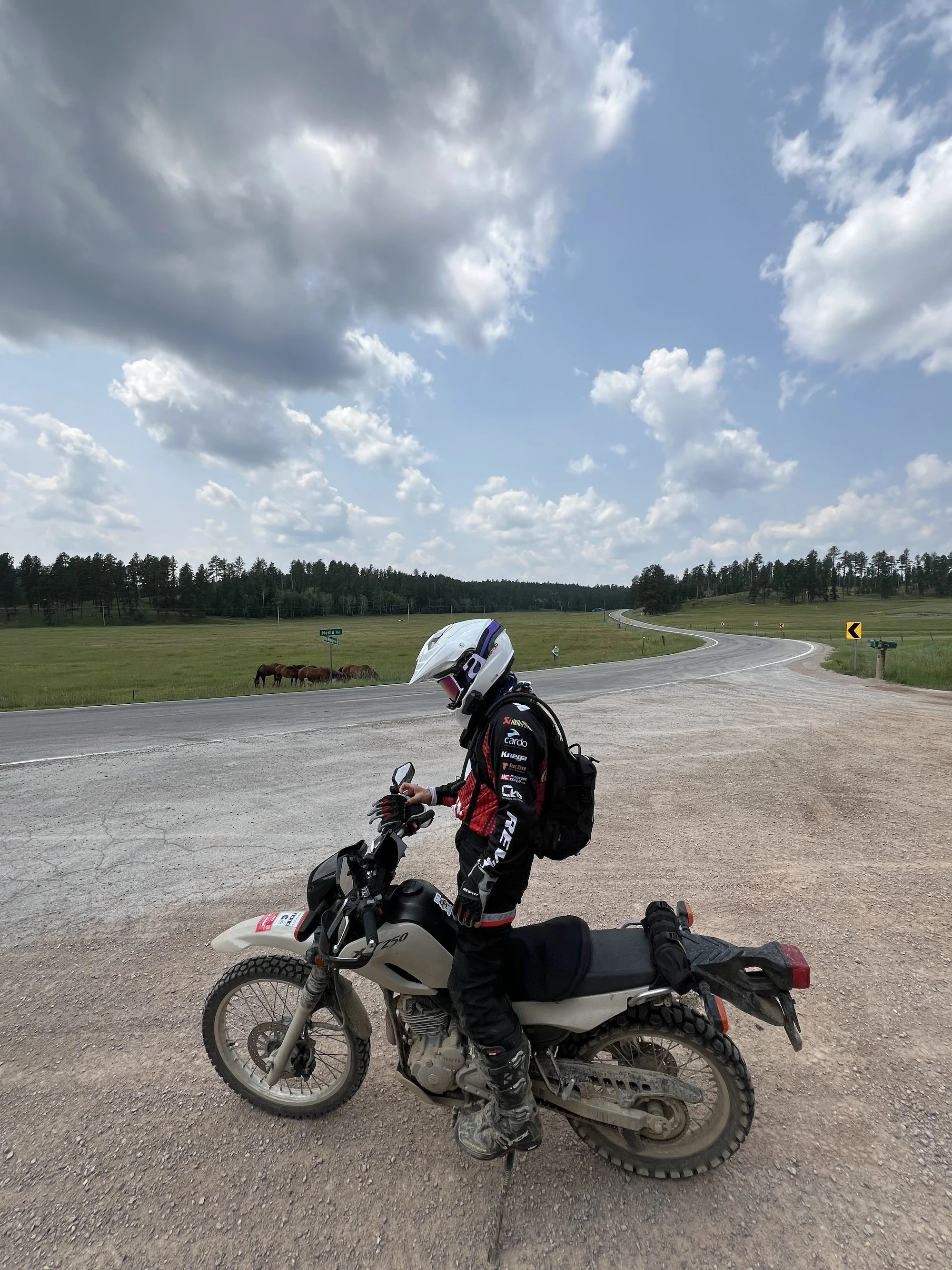
So I use #1 and #2 so that I can get turn by turn directions through to my helmet so I don’t have to look down to view the directions. I do have my phone mounted to a Ram Mount just in case, but I generally try not to look at it and just rely on the audio.

I created all of the above routes on my iPhone, using the InRoute app, no computers needed. You do have to pay a monthly or annual fee in order to have many waypoints but it’s worth the $30/year subscription for 100+ waypoints.

If you have any questions, please post a comment!

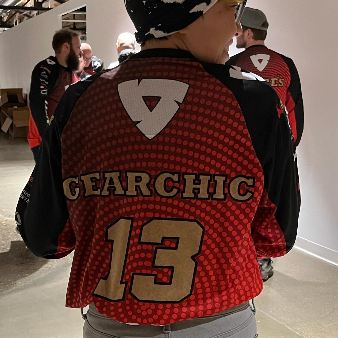
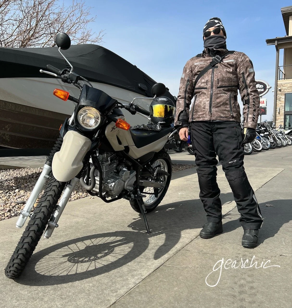
For more trip photos, please follow me: instagram.com/gearchic

Trip Planning for a Multi Day Solo Ride

One of the maps I created from my last solo trip several years ago down to NC

One of the maps I created from my last solo trip several years ago down to NC

I’m going to be riding this week somewhere. Initially I was thinking of going back South, towards the Carolinas, Virginias and Tennessee. I really love the riding down there, so I guess I just am drawn to going back there. I’m open to going North instead, but I don’t honestly know much about the riding in that direction.

Unfortunately the weather this week has hampered my leaving on time because if I don’t absolutely have to, I would rather NOT ride in the rain all day for 2 days. So I will leave as soon as the weather lets up tomorrow, or Tuesday morning if need be.

Someone asked me about my trip planning and what / how I am going to plan for something like this. Well, for me, it’s not going to be too much work, but I will be thinking about the following things.

But I won’t know exactly what I’m doing until I sort out all the people that i want to meet up with first. I know people have lives, so I certainly don’t expect everyone to meet me on my schedule. I will likely play a lot of my day to day destinations by ear.

Me and my friend Tamela meeting up 4 years ago in West Virginia. That was a fantastic trip!

Me and my friend Tamela meeting up 4 years ago in West Virginia. That was a fantastic trip!

Who Do I Want to Visit? Who Wants to Meet Up, and Where?

I’ll be looking a routes and using an online planning tool, Furkot.com. It’s my favorite tool for long distance planning because it takes in to consideration your mileage per day, hours you want to travel, breaks, gas stops and hotel stops. I can also take the route and import it into my iPhone app, InRoute. It’s freaking amazing.

riding_skyline_wafflehouse.jpg

How Many Points Do I Have for Free Hotel Nights?

(I’m NOT a moto camper, this queen needs a real bed and shower)

Who can say no to free hotel rooms? I have some points with Holiday Inn Express so I will likely route some nights onto those if I’m not staying with a friend. We’ll see.

What’s My Daily Budget?

Of course, doing a trip like this costs money! Hopefully between the free hotel nights and 1 or 2 friend’s couches, I will only have to pay for my food and gas. Not too bad. I’m a huge Waffle House Fan so i will be looking for those as much as possible. :D

Am I the only one who LOVES Waffle House while traveling? #smothered #covered

neptune_bybike.JPG

What Gear?

For this trip, I’ll have to take my trusty Revit Neptune GTX Suit. It’s a full multiseason suit with two removable liners; one is waterproof and the other one is thermal. So since the temperatures are going to be cooler from the high 40s/low 50s at night to mid 70s in the afternoon, depending how high the elevation is I’ll need something very versatile. I know that it’s going to rain on my way out of Philly and possibly coming back in next Monday. #firstworldproblems

I also will be taking my cool weather, waterproof Rukka Gloves, and my Dainese Torque Out boots. I do have Daytonas for when there’s heavy rain riding but if I’m only going to be in light to moderate rain, I don’t mind my Dainese because they’re water resistant and that’s good enough. The majority of this trip is dry and cool, so I can easily make those work. Daytonas are so bulky and heavy, it’s hard to go back to that kind of touring boot when you wear lightweight sport boots so much .

freecom4.jpg

I’ll also be wearing my Shoei RF-1200 because I need a quieter helmet, and my Bell is SO LOUD (even with earplugs). It’s also so tight, that for 8 hours a day it’s just too much. That’s really my summer, light riding helmet. I decided not to spend money right now on the Cardo Freecom 4+ headset that I’ve been drooling over. I will probably wait until Summer.

The reason I want to convert is because of the JBL speakers and the jogdial! Oooooohhhh. It has a very low profile, just like my current Sena 10R. But with these two vastly different features, I think it’ll jut be a much better headset overall. And the fact that it’s waterproof is a HUGE bonus.

What Luggage?

With my Triumph, I always use my Kriegas. They’re simply the best traveling luggage for low profile, waterproof, non saddlebag-hanging luggage with maximum volume. For trips like these, I have 40 Liters of packable space which doesn’t include my little Cortech tankbag.

Emergencies?

For emergencies, I’ll have my AAA membership and my AMA membership handy. I’ll also find the closest Triumph dealers and metric line dealers that might be able to help me if I have to get something fixed or serviced. My bike is in pretty good shape, so I don’t anticipate any issues but if I do, these will be my main lifelines.

I’ll carry just a few things might come in handy as far as tools and supplies:

  • Antigravity Microstart Power Supply with me in case I need a jump

  • a tire gauge

  • zip ties

  • folded duct tape

  • folding leatherman

  • allen key tool because pretty much everything on my bike can be tightened/loosended with 4 metric sizes

And that’s it! I can’t prepare for everything, so I’ll do my best and know that I can call for help if I need it. I’m mostly going to stick to paved, highway roads and will let my husband know what I’ll be doing every day so if I’m alone, someone knows where I’m headed.

Cyber Monday Motorcycle Deal

rever_screenshot_premium.png

Cyber Monday is almost over. I just bought this 50% off deal from Rever. If you’re looking for turn by turn directions, and a reason to get rid of your Garmin, try this app. You have to purchase the premium version to get the best features, but based on what I’ve read and other user’s feedback, it’s worth trying for $30 for a year rather than $400-$600 for a gps device.

https://a.rever.co/

Cyber Monday Code: BlackFriday2018

As much as I love using my other app (iPhone only) inRoute , I’m excited to try something different, since it was made specifically for motorcyclists!

InRoute, a way to navigate with your iPhone and Sena!

Finally, what I've been waiting for. A reason to replace my Garmin Zumo. Which may not happen immediately, but I foresee this as a really, really great tool.

I know, I just published my Garmin Zumo 390 review but now I found what I have been searching for! An iPhone app that lets me import the GPX file I need from Furkot and then it reads the turn by turn directions into my Sena SMH10R.

This iPhone app is called InRoute Route Planner. It's a free app but it comes with optional upgrades, which I'll gladly pay for. The free version allows for up to 24 locations in a particular map I think. It's $2.99/month or $24.99 for the year if you want up to 100 locations per map. So I went ahead and bought a year. Why not? 

If I can successfully use this app for all my turn by turn navigation, then adios Garmin! Fingers crossed, as we leave for Port Jervis in the morning on a quick overnight :)

Update August 2016

I've now been using the InRoute app exclusively for the past two months. It has definitely done its job and very well, I might add. 

There are two things that I've wanted my phone to do for me; navigate and then give me turn by turn directions through my Sena SMH10R Headset so I don't have to look down or check to see what the display is showing.  Although it has some minor issues to resolve, overall its the best navigation option I've ever used. 

Back in June my husband and I ventured north to Port Jervis, NY. We left early Sunday morning and then headed up to the border as far as we felt like going. Then we grabbed a hotel for the night once we got into New York. 

Opening GPX Files

The photo above is the ambitious ride route I laid out for us. You can download a copy of the GPX file here. :)  All you have to do is either create a route on a website such as Furkot.com, save it as a .GPX and then open it easily on your iPhone (there are others I'm sure, just use whatever site or software application you want to create the GPX). (Or, alternatively you can create a route on the fly right inside the app. We'll get to that part in a bit, so keep scrolling if you want that part.) 

I use iCloud Drive (in addition to Google Drive) so all I have to do is open my file. Once you create the GPX on your desktop, you could also just email it to yourself too. Once I've found my file, I just tell my phone how I want to view it. 

inroute_openingfiles

In this instance, I want it to "copy to InRoute". If I already have another route or map open, it'll ask me if I want to Restore Route. I Choose Restore. 

inroute_restore

And then voila! I have my ride route. All I have to do is hit GO and we're off. My Sena starts talking to me and I'm ready to ride. 

Creating Routes on the Fly

However, sometimes you just need to make a quick route without a computer nearby. This is my favorite feature. I can instantly create a route, tweak it and then share it with my husband so he can also lead part way. It's as simple as putting your finger exactly where your destination is. As soon as you do, it asks you if that's going to be your Start, a Waypoint or your Destination. For this example, I choose Destination. 

inroute_shamokin

But I really really really don't want to take the turnpike there. And this map much like other maps might assume you do. No Thank You. Maybe I want to visit the infamous stretch of road where I lowsided last year to see if they patched up the entire roadway or not. So I place my finger at on the road and it drops a pin. I select Waypoint.  

Now, we have a decent route!

Inroute_143

But let's just say that I want to make another stop along the way, just for fun. 

Crap. Now things are in the wrong order. No problem :) Click on the little 2Way Sign in the upper left corner. 

Now you have this handy option to Optimize Waypoint Order. SO handy. You can also rearrange points manually here too. If you select a particular point you can then delete it. 

Now that I've rearranged the order, I have a proper route. 

Then when it comes to sharing this route with the man, I just text it to him like any other image or file on my iPhone. 

The only downsides of the app that we've discovered are:

  1. It uses the Apple Maps Engine. For some reason, and I'm not quite sure why, it won't interrupt my intercom conversation with my husband to give me the directions. I have to toggle back to my phone to hear it. I'm ok with this for now, because it's a small sacrifice to have a much better app interface such as this. Google Maps and Waze don't do this, so it's definitely possible and most likely a feature they have to program into the app (something about APIs to tell the phone that it's an incoming phone call, not just music - per my mobile app developer expert husband). 
  2. The Northeast is full of roads and highways with multiple names. Look at this one for instance. You can see that Route 143 is also known as "Ontelaunee Trail". It might tell me one or the other, so I have to trust it when it tells me to turn somewhere. It doesn't always do this, but often enough that I try not to worry as much if I'm turning at the right point. 

A couple of fun features is that it offers temperature, humidity and a few other details along your route, super handy. 

Those are the main features that I use on the app. I'm sure I'll discover more as I use it further. 

Other than those two details, I don't foresee going back to the Zumo anytime soon. The only thing I still might need is a waterproof case which is easy to come by.

In order to have my phone easily accessible on the bike I purchased this Ram Universal X-Grip cellphone holder. All I had to do was take off the Garmin Mount from the Ram Arm and swap it for the X-Grip.