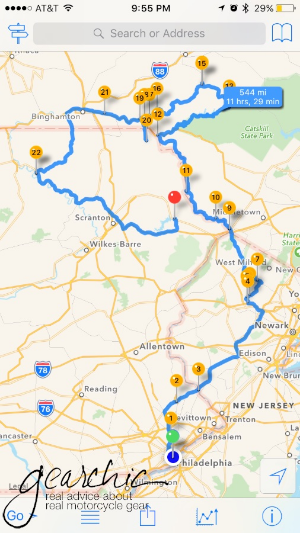


One of the maps I created from my last solo trip several years ago down to NC
I’m going to be riding this week somewhere. Initially I was thinking of going back South, towards the Carolinas, Virginias and Tennessee. I really love the riding down there, so I guess I just am drawn to going back there. I’m open to going North instead, but I don’t honestly know much about the riding in that direction.
Unfortunately the weather this week has hampered my leaving on time because if I don’t absolutely have to, I would rather NOT ride in the rain all day for 2 days. So I will leave as soon as the weather lets up tomorrow, or Tuesday morning if need be.
Someone asked me about my trip planning and what / how I am going to plan for something like this. Well, for me, it’s not going to be too much work, but I will be thinking about the following things.
But I won’t know exactly what I’m doing until I sort out all the people that i want to meet up with first. I know people have lives, so I certainly don’t expect everyone to meet me on my schedule. I will likely play a lot of my day to day destinations by ear.
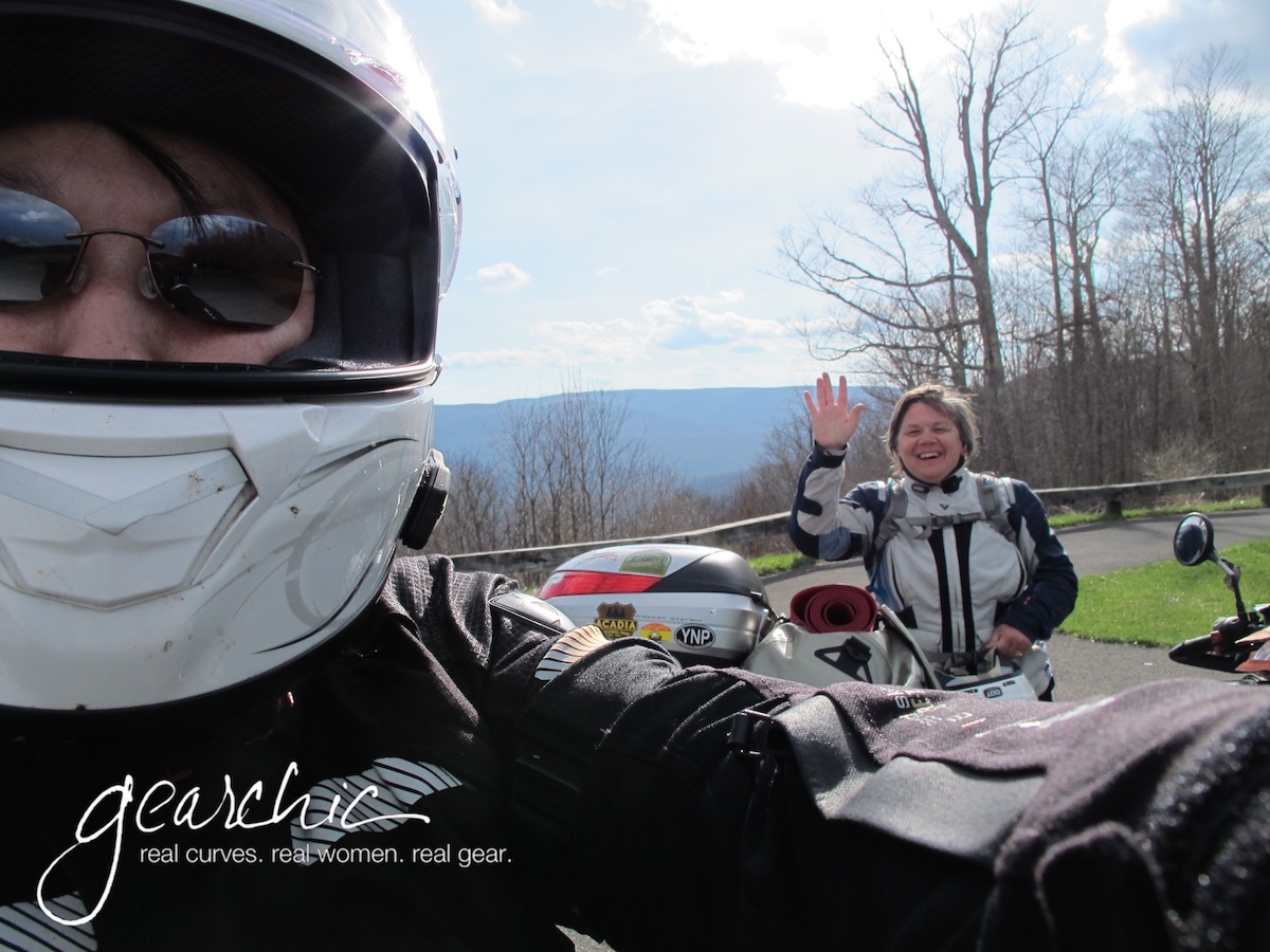
Me and my friend Tamela meeting up 4 years ago in West Virginia. That was a fantastic trip!
Who Do I Want to Visit? Who Wants to Meet Up, and Where?
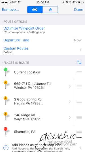
I’ll be looking a routes and using an online planning tool, Furkot.com. It’s my favorite tool for long distance planning because it takes in to consideration your mileage per day, hours you want to travel, breaks, gas stops and hotel stops. I can also take the route and import it into my iPhone app, InRoute. It’s freaking amazing.

How Many Points Do I Have for Free Hotel Nights?
(I’m NOT a moto camper, this queen needs a real bed and shower)
Who can say no to free hotel rooms? I have some points with Holiday Inn Express so I will likely route some nights onto those if I’m not staying with a friend. We’ll see.
What’s My Daily Budget?
Of course, doing a trip like this costs money! Hopefully between the free hotel nights and 1 or 2 friend’s couches, I will only have to pay for my food and gas. Not too bad. I’m a huge Waffle House Fan so i will be looking for those as much as possible. :D
Am I the only one who LOVES Waffle House while traveling? #smothered #covered

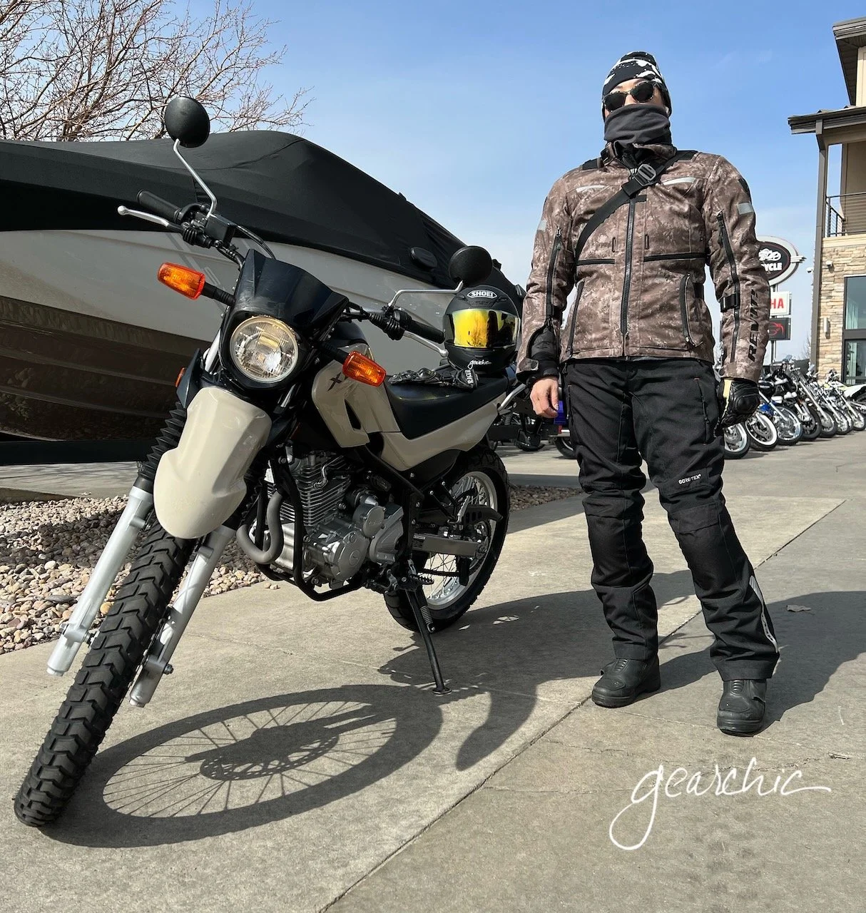
What Gear?
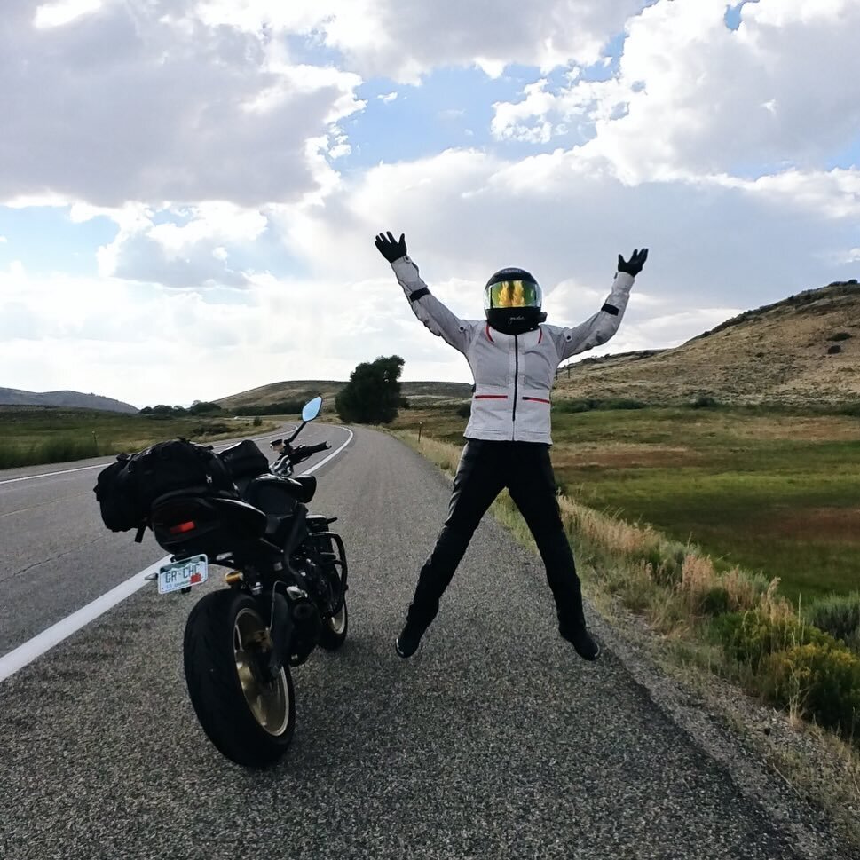
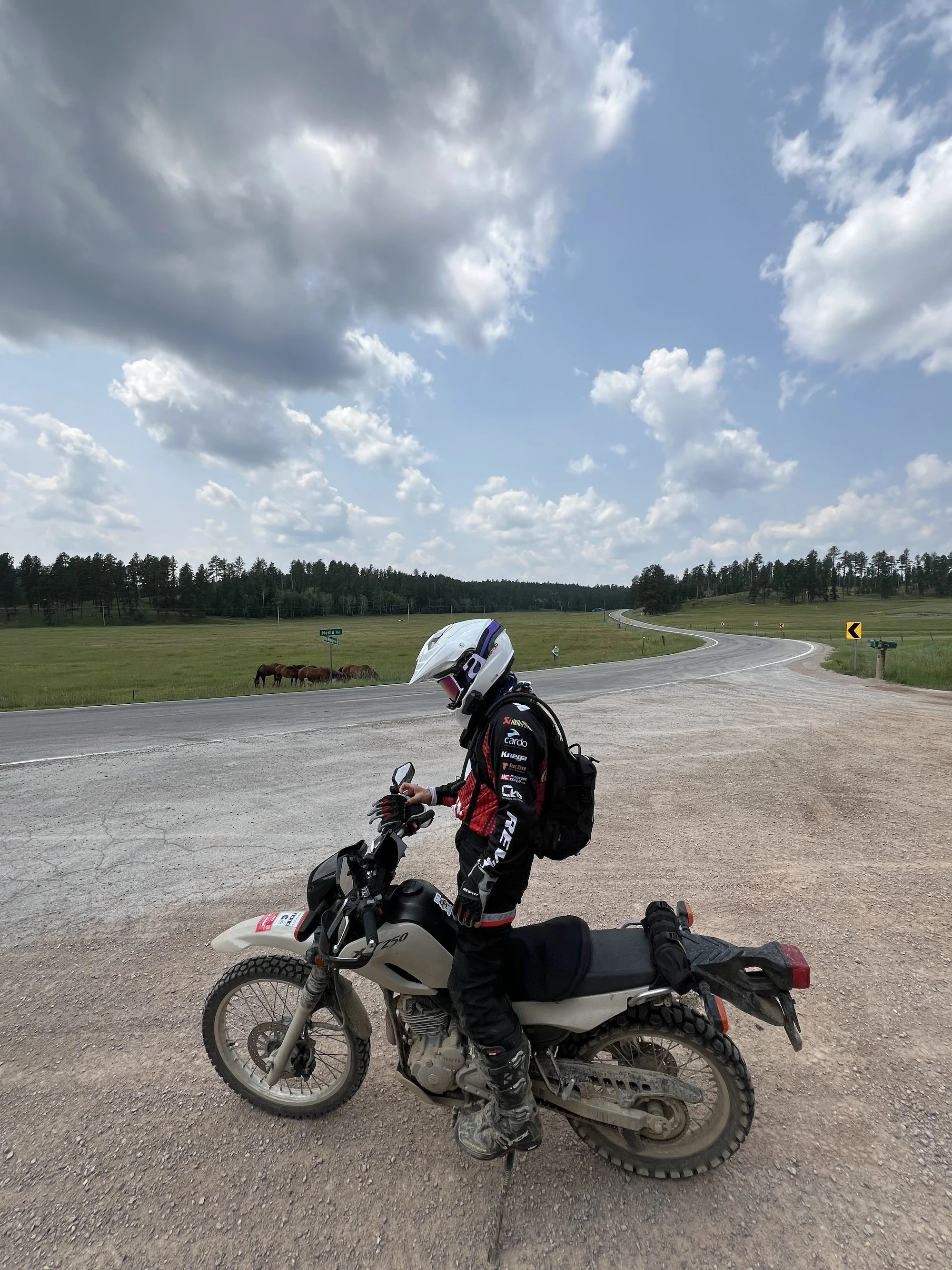
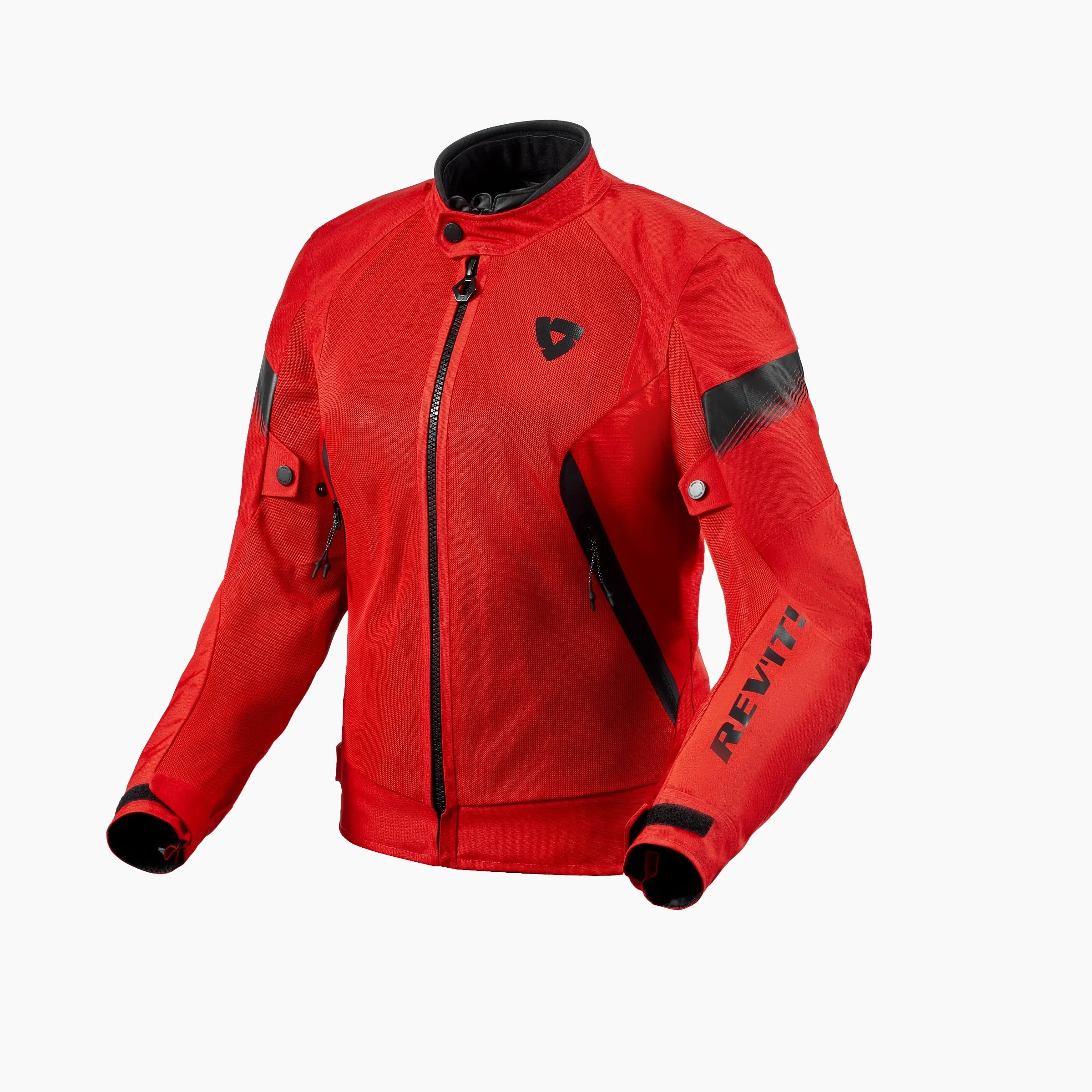
For this trip, I’ll have to take my trusty Revit Neptune GTX Suit. It’s a full multiseason suit with two removable liners; one is waterproof and the other one is thermal. So since the temperatures are going to be cooler from the high 40s/low 50s at night to mid 70s in the afternoon, depending how high the elevation is I’ll need something very versatile. I know that it’s going to rain on my way out of Philly and possibly coming back in next Monday. #firstworldproblems
I also will be taking my cool weather, waterproof Rukka Gloves, and my Dainese Torque Out boots. I do have Daytonas for when there’s heavy rain riding but if I’m only going to be in light to moderate rain, I don’t mind my Dainese because they’re water resistant and that’s good enough. The majority of this trip is dry and cool, so I can easily make those work. Daytonas are so bulky and heavy, it’s hard to go back to that kind of touring boot when you wear lightweight sport boots so much .

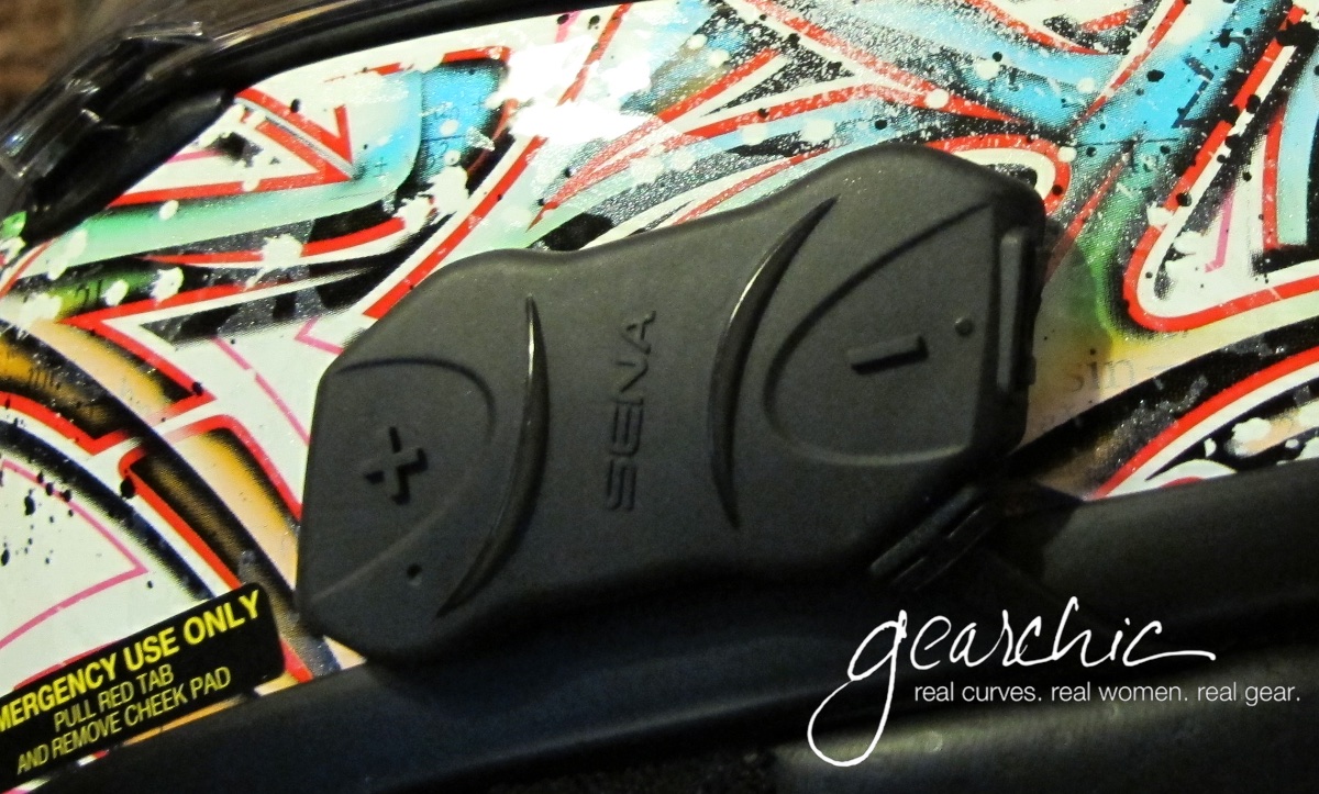
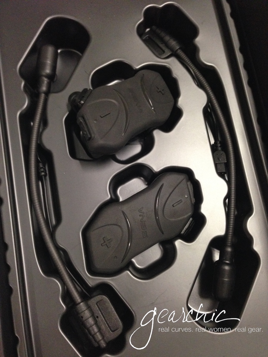
I’ll also be wearing my Shoei RF-1200 because I need a quieter helmet, and my Bell is SO LOUD (even with earplugs). It’s also so tight, that for 8 hours a day it’s just too much. That’s really my summer, light riding helmet. I decided not to spend money right now on the Cardo Freecom 4+ headset that I’ve been drooling over. I will probably wait until Summer.
The reason I want to convert is because of the JBL speakers and the jogdial! Oooooohhhh. It has a very low profile, just like my current Sena 10R. But with these two vastly different features, I think it’ll jut be a much better headset overall. And the fact that it’s waterproof is a HUGE bonus.
What Luggage?
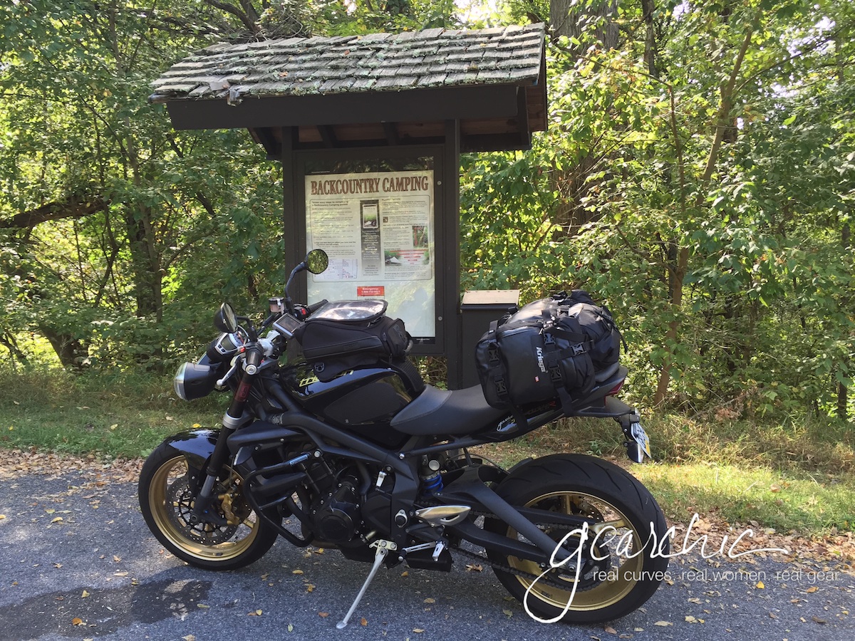
With my Triumph, I always use my Kriegas. They’re simply the best traveling luggage for low profile, waterproof, non saddlebag-hanging luggage with maximum volume. For trips like these, I have 40 Liters of packable space which doesn’t include my little Cortech tankbag.

Emergencies?
For emergencies, I’ll have my AAA membership and my AMA membership handy. I’ll also find the closest Triumph dealers and metric line dealers that might be able to help me if I have to get something fixed or serviced. My bike is in pretty good shape, so I don’t anticipate any issues but if I do, these will be my main lifelines.
I’ll carry just a few things might come in handy as far as tools and supplies:
Antigravity Microstart Power Supply with me in case I need a jump
a tire gauge
zip ties
folded duct tape
folding leatherman
allen key tool because pretty much everything on my bike can be tightened/loosended with 4 metric sizes
And that’s it! I can’t prepare for everything, so I’ll do my best and know that I can call for help if I need it. I’m mostly going to stick to paved, highway roads and will let my husband know what I’ll be doing every day so if I’m alone, someone knows where I’m headed.